File:TN-Jellico-CH7665-Map-ca1900.jpg
Jump to navigation
Jump to search

Size of this preview: 302 × 598 pixels. Other resolution: 794 × 1,573 pixels.
Original file (794 × 1,573 pixels, file size: 447 KB, MIME type: image/jpeg)
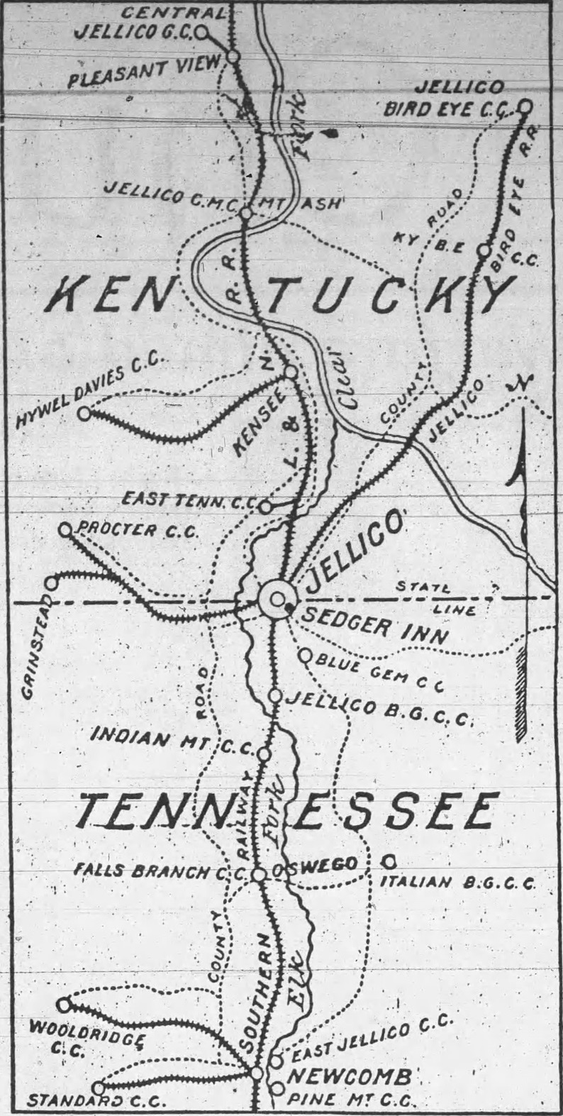
Map of the coal-producing areas around Jellico ca1900. At the time the Southern Railway reached north to Jellico and terminated there while the Louisville and Nashville Railroad reached south to Jellico and terminated there. Dotted lines show the primitive county roads. Map taken from a flyer for the Sedger Inn TN Ch7665
File history
Click on a date/time to view the file as it appeared at that time.
| Date/Time | Dimensions | User | Comment | |
|---|---|---|---|---|
| current | 11:55, 8 August 2025 | 794 × 1,573 (447 KB) | Astroup (talk | contribs) |
You cannot overwrite this file.
File usage
The following page uses this file: