File:PA-Conneautville-Ch143-Map.jpg
Jump to navigation
Jump to search
No higher resolution available.
PA-Conneautville-Ch143-Map.jpg (482 × 554 pixels, file size: 97 KB, MIME type: image/jpeg)
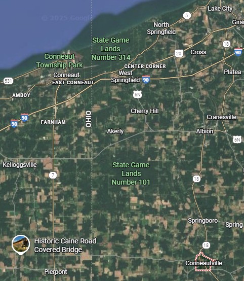
Map Conneautville, PA Ch143 shows Conneaut, OH, mouth of Conneaut Creek and Conneautville, PA
File history
Click on a date/time to view the file as it appeared at that time.
| Date/Time | Dimensions | User | Comment | |
|---|---|---|---|---|
| current | 11:33, 21 November 2025 | 482 × 554 (97 KB) | Astroup (talk | contribs) |
You cannot overwrite this file.
File usage
The following page uses this file: